The Route - Days 4 & 5
Days 4 and 5 of the Coast to Coast Walk covers 25 miles from Grasmere to Shap at the edge of the Lake District.
Day 4 - Grasmere to Patterdale - 8 miles

Stage 1 - Grasmere to Grisedale Tarn
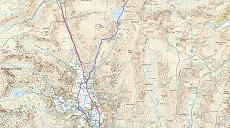
Starting in Grasmere the walk ascends to Grisdale Tarn via Tongue Gill and through the Grisedale pass.

Stage 2 - Grisedale Tarn to Patterdale
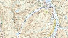
Wainwright proposes several alternative routes from Grisdale Tarn to Patterdale that either goe via Helvellyn and Striding Edge or via St Sunday Crag. I have walked these routes on numerous other occasions so have decided to take the direct route down into Patterdale and save my legs for the later stages of the walk.
Google Earth kmz for Day 4
Day 5 - Patterdale to Shap - 17 miles

Stage 1 - Patterdale to Haweswater Reservoir
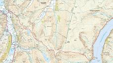
The last significant climb before leaving the Lake District national park. This stage includes Anglet arn Pikes and the superb Angle Tarn (nice camping spot). The path then ascends to the 2500ft, Kidsty Pike before dropping down to the edge of the reservoir.

Stage 2 - Haweswater Reservoir to Shap
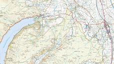
Haweswater used to be a lake before it was changed to a reservoir at the loss of the small village of Mardale. The walk follows the north shore to the end of the reservoir and then takes the marked C2C path to Shap Abbey and then Shap.
Google Earth kmz for Day 5
Click here to download Google Earth and use the kmz files to fly through an animation of the route. Information on the Google Earth Touring feature can be found here.
- Day 1
- Day 2 & 3
- Day 4 & 5
- Day 6 & 7
- Day 8 & 9
- Day 10 & 11
- Day 12 & 13
- Day 14